In a groundbreaking development for hydrological monitoring and riverine management, researchers have compiled an extensive dataset of U.S. river images, harnessing the power of deep learning to identify river channels and rapids with unprecedented accuracy. This innovative approach, detailed in a recent study published in *Dálkviðtaki* (Remote Sensing), opens new avenues for efficient and scalable river monitoring, with significant implications for the energy sector and beyond.
The study, led by Nicholas Brimhall from the Department of Mathematics and Statistics at Utah State University, presents a dataset of 281,024 satellite and aerial images of U.S. rivers. This dataset, constructed using an Application Programming Interface (API) and the U.S. Geological Survey’s National Hydrography Dataset, includes images, primary keys, and ancillary geospatial information. The researchers used a manually labeled subset of these images to train models for detecting rapids, defined as areas with high velocity and turbulence visible in the imagery.
“Remote sensing enables large-scale, image-based assessments of river dynamics, offering new opportunities for hydrological monitoring,” Brimhall explained. “Our dataset and tools provide a foundation for scalable, automated identification of geomorphic features to support riverine science and resource management.”
The researchers developed an image segmentation model to identify rivers within images, achieving a mean test intersection-over-union (IoU) of 0.57. Performance improved to an actual IoU of 0.89 on the subset of predictions with high confidence. Following this initial segmentation, they trained several convolutional neural network (CNN) architectures to classify the presence or absence of rapids. The selected model reached an accuracy and F1 score of 0.93, indicating strong performance for the classification of rapids.
This research has profound implications for the energy sector, particularly in hydropower generation and river management. Accurate identification of rapids and river channels can support consistent, efficient inventory and monitoring, aiding in the planning and maintenance of hydropower facilities. Additionally, the data can be used for recreation planning, habitat assessment, and discharge estimation, contributing to sustainable river management practices.
“The potential applications of this research are vast,” Brimhall noted. “From improving hydropower efficiency to enhancing environmental monitoring, our dataset and tools offer a robust foundation for future developments in riverine science and resource management.”
The study’s findings, published in *Dálkviðtaki* (Remote Sensing), highlight the transformative potential of deep learning in hydrological monitoring. By leveraging advanced computer vision techniques, researchers can now achieve scalable and automated identification of geomorphic features, paving the way for more efficient and effective river management strategies.
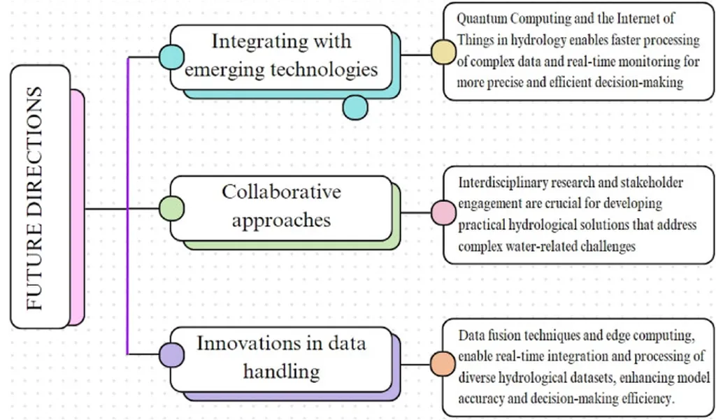
As the energy sector continues to evolve, the integration of such innovative technologies will be crucial in addressing the challenges of sustainable resource management. This research not only advances our understanding of river dynamics but also sets the stage for future developments in the field, offering new opportunities for collaboration and innovation.
In a world where data-driven decisions are becoming increasingly important, this study serves as a testament to the power of remote sensing and deep learning in shaping the future of hydrological monitoring and riverine management.