In the shadow of towering cliffs and along the edges of vast quarries, a silent menace lurks—landslides. These natural disasters can bring entire operations to a grinding halt, posing significant risks to both human lives and infrastructure. Yet, a beacon of hope emerges from the Department of Geodesy at Bogazici University’s Kandilli Observatory and Earthquake Research Institute, where lead author Mahyat Shafapourtehrany and her team are revolutionizing landslide detection and modeling through advanced geospatial technologies.
Shafapourtehrany’s groundbreaking research, published in the journal *Geoenvironmental Disasters* (translated to English as “Environmental Disaster”), delves into the evolution and application of geospatial technologies in landslide research. The study highlights the critical role these technologies play in monitoring, detecting, and assessing the risk of landslides, which can have profound commercial impacts, particularly in the energy sector.
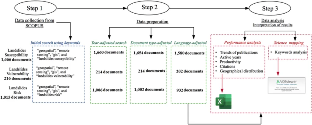
“Landslides represent a significant natural hazard, causing widespread human, infrastructure, and environmental losses,” Shafapourtehrany explains. Her team’s comprehensive review reveals that geospatial technologies, including spaceborne and airborne Earth Observation (EO) technologies, ground-based remote sensing, and mobile Geographic Information System (GIS) applications, are essential for effective landslide management.
The research underscores the importance of landslide susceptibility mapping, vulnerability, and risk assessments. “Our bibliometric analysis reveals that landslide susceptibility is the most extensively studied category, followed by risk, while vulnerability remains significantly underexplored,” Shafapourtehrany notes. This gap in understanding the socio-economic and infrastructure impacts of landslides highlights the need for greater emphasis on vulnerability studies to improve landslide risk mitigation.
For the energy sector, the implications are substantial. Landslides can disrupt mining operations, damage critical infrastructure, and lead to costly delays. By leveraging advanced geospatial technologies, energy companies can enhance their predictive capabilities, implement early warning systems, and develop more robust disaster response strategies.
Shafapourtehrany’s research also identifies key challenges in landslide management and discusses emerging trends aimed at improving prediction, monitoring, and disaster response. “Our results emphasize the need for increased focus on vulnerability studies to strengthen landslide risk mitigation strategies,” she states.
As the energy sector continues to expand into more remote and geologically complex regions, the ability to predict and mitigate landslide risks becomes increasingly crucial. Shafapourtehrany’s work not only sheds light on the current state of geospatial technologies in landslide research but also paves the way for future developments that could transform how we manage and respond to these natural hazards.
In a world where every minute counts, the insights gleaned from this research could mean the difference between disaster and resilience, between chaos and control. As we stand on the precipice of a new era in landslide management, one thing is clear: the future is geospatial, and it is here.