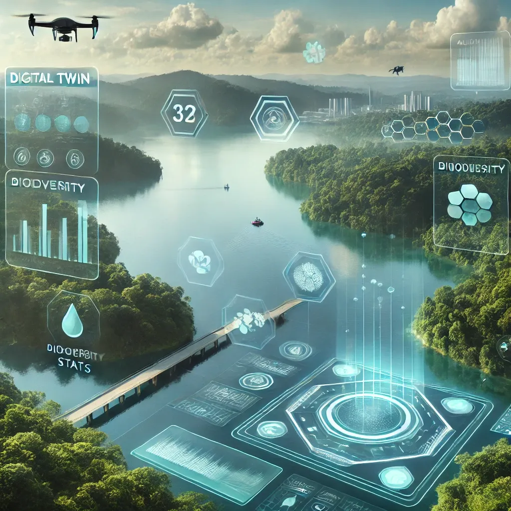
In the arid landscapes of Gujarat, India, a digital revolution is quietly transforming the way water is managed, with implications that ripple far beyond the energy sector. P. Thakker, a Geo Informatics Consultant based in Mumbai, has spearheaded an ambitious project to create a digital twin of Gujarat’s extensive irrigation infrastructure, a feat that could redefine how we approach water resource management and energy production.
Gujarat’s irrigation network is vast, encompassing over 26,000 kilometers of canals and 6,000 kilometers of pipelines. Managing this intricate system has long been a complex challenge, but Thakker and his team have made significant strides in simplifying it. “We’ve created a comprehensive geo-database that includes not just the canals and pipelines, but also the hydraulic structures, command areas, and recharge infrastructure,” Thakker explains. This digital twin, a virtual replica of the physical system, is more than just a map; it’s a dynamic tool that enhances transparency, accelerates decision-making, and improves inter-departmental coordination.
The project’s impact on the energy sector is profound. Efficient water management is crucial for energy production, particularly in regions where water scarcity is a pressing issue. By optimizing water distribution, the digital twin can support more sustainable and reliable energy production. “The system supports applications such as monitoring reservoir water storage and planning UAV surveys,” Thakker notes. This capability is invaluable for energy companies that rely on water for cooling and other processes.
One of the most innovative aspects of this project is the use of open-source GIS, satellite imagery, and digital image processing. These technologies have enabled the creation of a Web Map Service (WMS) that facilitates uniform interactive data usage. This not only enhances user engagement but also ensures that the data is accessible and usable by all stakeholders.
The initiative has also proven to be a resilient digital backbone for the Irrigation Master Plan, enabling adaptive management strategies across administrative levels. This has brought equity and efficiency to water distribution, a critical factor for sustainable energy production.
The research was published in the ‘ISPRS Annals of the Photogrammetry, Remote Sensing and Spatial Information Sciences,’ which translates to the ‘Annals of the International Society for Photogrammetry and Remote Sensing.’ This publication underscores the significance of the project and its potential to shape future developments in the field.
As we look to the future, the implications of this digital twin technology are vast. It could revolutionize water management practices, enhance energy production efficiency, and set a new standard for inter-departmental coordination. Thakker’s work is a testament to the power of digital innovation in addressing real-world challenges, and it’s a story that deserves to be told.