In the heart of India’s bustling urban landscapes, a groundbreaking study led by K. Multani from L J University in Ahmedabad is reshaping how cities tackle mobility challenges. The research, published in the ‘ISPRS Annals of the Photogrammetry, Remote Sensing and Spatial Information Sciences’ (Annals of Photogrammetry, Remote Sensing and Spatial Information Sciences), highlights the transformative potential of real-time geospatial data in enhancing urban mobility. This isn’t just about mapping streets; it’s about revolutionizing how cities breathe, move, and evolve.
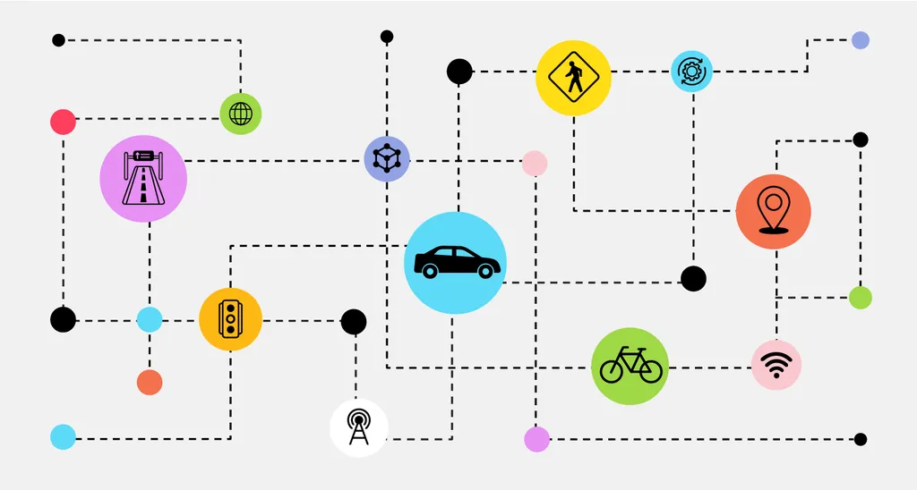
Imagine a city where traffic lights adjust in real-time to ease congestion, where public transport routes are optimized based on live passenger data, and where infrastructure is maintained before it fails. This is the promise of real-time geospatial data, a tool that Multani and his team argue is becoming indispensable in modern urban planning. “Real-time geospatial data is not merely a support mechanism but a foundational component of modern urban mobility systems,” Multani asserts. This data, collected through GPS, sensors, and IoT-enabled infrastructure, provides dynamic insights into traffic patterns, transport infrastructure usage, and service disruptions.
The implications for the energy sector are profound. As cities strive to reduce their carbon footprint, real-time geospatial data can inform decisions related to low-emission zones and multimodal connectivity. For instance, transit agencies can use this intelligence to deploy electric buses more efficiently, reducing idle time and energy consumption. “By enabling data-driven decision-making, enhancing service efficiency, and improving responsiveness, it empowers cities to build safe, inclusive, and sustainable transportation networks,” Multani explains.
The study underscores the potential of real-time geospatial data in traffic flow analysis, dynamic route optimization, and public transportation performance monitoring. For the energy sector, this means more than just efficient public transport. It translates to smarter energy distribution, reduced emissions, and a more resilient infrastructure. As urban environments continue to evolve, geospatial intelligence will be essential in shaping adaptive and resilient mobility solutions.
Multani’s research is a wake-up call for cities and industries alike. It’s a reminder that the future of urban mobility is not just about moving people and goods efficiently but also about doing so sustainably. As we stand on the cusp of a mobility revolution, real-time geospatial data is poised to be the compass guiding us forward. The question is, are we ready to follow its lead?