In the quest to unlock the secrets hidden beneath the Earth’s surface, researchers have turned to artificial intelligence to enhance the clarity of seismic images, a critical tool for exploring subsurface geology and resource distribution. A groundbreaking study led by Jiao Wang from Qingdao Huanghai University in China introduces a novel approach that could revolutionize how the energy sector interprets seismic data, potentially leading to more accurate resource assessments and improved exploration strategies.
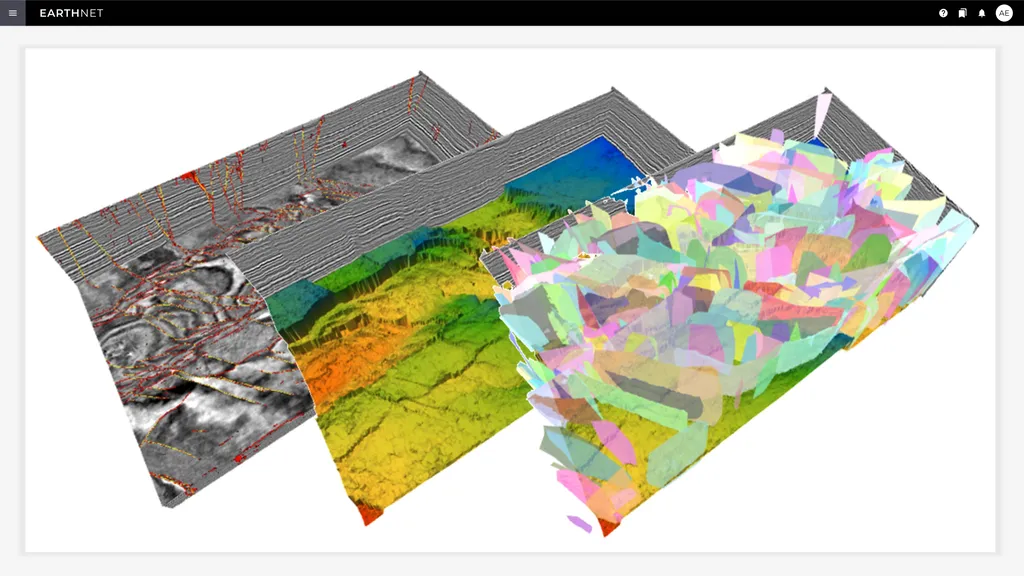
Seismic imaging is akin to taking an X-ray of the Earth, revealing the hidden structures and resources that lie deep underground. However, these images often suffer from weak signals and noise, which can obscure vital details and hinder geological interpretation. “Deep seismic signals are frequently too weak due to absorption and random noise, limiting our ability to achieve high-resolution images,” explains Wang. “This poses a significant challenge for accurate geological interpretation and resource exploration.”
To tackle this issue, Wang and his team have developed a well-constrained conditional Generative Adversarial Network (GAN) that leverages well-log data as a geophysical constraint. GANs are a type of AI model known for their ability to enhance image resolution and suppress noise. However, traditional GANs can sometimes overfit noise, produce geologically inconsistent artifacts, and struggle to recover high-frequency details. The team’s innovative approach addresses these limitations by incorporating well-log data to guide the generator, reducing the solution space and mitigating adversarial training blind spots.
One of the key innovations in this research is the integration of a Visual Geometry Group (VGG)-based perceptual loss. This addition enables the model to recover weak effective signal energy and high-frequency details, significantly improving the quality of seismic images. “By incorporating well-log data and VGG-based perceptual loss, our method substantially improves weak-signal recovery, noise suppression, and resolution enhancement,” says Wang.
The implications of this research for the energy sector are profound. Enhanced seismic imaging can lead to more accurate assessments of subsurface resources, improving exploration strategies and reducing the risks associated with drilling. This technology could also facilitate better monitoring of existing reservoirs, optimizing production and extending the lifespan of oil and gas fields.
The study, published in the IEEE Journal of Selected Topics in Applied Earth Observations and Remote Sensing (translated to English as “IEEE Journal of Selected Topics in Applied Earth Observations and Remote Sensing”), demonstrates the potential of AI to transform the energy sector. As the world continues to seek sustainable energy solutions, the ability to accurately map and assess subsurface resources becomes increasingly important.
Looking ahead, this research could pave the way for further advancements in seismic imaging and other geophysical applications. The integration of AI and geophysical data holds promise for unlocking new insights into the Earth’s subsurface, shaping the future of resource exploration and management. As Wang and his team continue to refine their approach, the energy sector can look forward to more accurate, detailed, and reliable seismic images, ultimately leading to more efficient and sustainable resource extraction.