In the rapidly evolving world of remote sensing and land-use monitoring, a groundbreaking development has emerged that could significantly impact the energy sector and beyond. Researchers have introduced a novel deep learning model designed to enhance the precision of land-cover classification from high-resolution satellite imagery. This innovation, spearheaded by Pengyuan Lv from the School of Information Engineering at Ningxia University in Yinchuan, China, promises to revolutionize how we interpret and utilize geospatial data.
The new model, dubbed DAGMN (Geometric and Semantic Detail Aware Gaussian Mixture Deep Neural Network), addresses a critical challenge in the field: the increasing complexity of high-resolution remote sensing images. As satellite technology advances, the spatial resolution of images improves, revealing more intricate geometric characteristics and diverse category distributions. Traditional methods often struggle to capture these nuances, leading to less accurate land-cover classifications.
“With the gradual improvement of the spatial resolution of remote sensing images, the geometric characteristics and category distribution of the targets in the images are becoming more complex,” Lv explained. “Our model is designed to directly model these complexities to acquire precise segmentation results.”
At the heart of DAGMN lies its innovative encoder, composed of several anisotropic geospatial refinement blocks (AGRBs). These blocks include a hierarchical strip convolution attention module (HSCAM) and a channel enhancement attention module (CEAM). The HSCAM enhances the geometric directional information of objects using strip convolution kernels with varying directions and scales, while the CEAM boosts channel information interaction within each block. This dual approach ensures that both the geometric and semantic details of the imagery are captured with high fidelity.
But the true innovation lies in the model’s classifier. Instead of relying on traditional softmax classifiers, DAGMN employs a latent semantic distribution modeling classifier that uses a generative Gaussian mixture model (GMM). This allows the model to better capture the precise distribution of different land-cover categories, leading to more accurate and reliable classifications.
To optimize the performance of DAGMN, the researchers developed a hybrid training strategy that jointly optimizes the parameters within the network and the GMM. This approach ensures that the model learns to balance geometric and semantic details effectively, resulting in superior segmentation results.
The potential applications of this research are vast, particularly in the energy sector. Accurate land-cover classification is crucial for renewable energy projects, such as solar and wind farms, which require precise site selection and environmental impact assessments. “Our method can provide more detailed and accurate land-cover maps, which are essential for planning and managing renewable energy projects,” Lv noted.
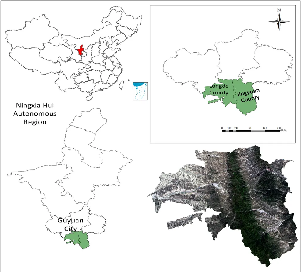
The effectiveness of DAGMN was demonstrated through experiments on several datasets, including the ISPRS Vaihingen, ISPRS Potsdam, and LoveDA datasets, as well as a newly developed dataset called NingXia-Seg. The results showed that DAGMN outperformed related semantic segmentation methods, highlighting its potential for real-world applications.
Furthermore, the researchers conducted a city-scale semantic segmentation case study on the area of Yinchuan, China, demonstrating the model’s capability for comprehensive land surface monitoring. This case study underscores the scalability of DAGMN and its potential to be applied to large-scale land-use planning and environmental monitoring.
The research was recently published in the IEEE Journal of Selected Topics in Applied Earth Observations and Remote Sensing, a prestigious journal known for its focus on advanced remote sensing technologies and applications. The publication of this work in such a renowned journal underscores its significance and potential impact on the field.
As the world continues to grapple with the challenges of climate change and the need for sustainable energy solutions, innovations like DAGMN offer a beacon of hope. By enhancing our ability to accurately classify and monitor land cover, this technology can support better decision-making in the energy sector and beyond. The future of remote sensing is bright, and with advancements like DAGMN, we are better equipped to tackle the complex challenges that lie ahead.