In a groundbreaking development for environmental monitoring and groundwater management, researchers have harnessed the power of explainable artificial intelligence to map nitrate pollution in coastal aquifers. This innovative approach, detailed in a recent study published in *Scientific Reports* (translated to English as “Scientific Reports”), offers a promising solution to a pressing global challenge, with significant implications for the energy sector and sustainable resource management.
The study, led by Morad Chahid from the Laboratory of Applied and Marine Geosciences, Geotechnics and Geohazards (LR3G) at Abdelmalek Essaâdi University, presents a deep learning framework that integrates hydrochemical parameters with remote-sensing data to predict nitrate concentrations and identify contamination hotspots. “Our framework not only predicts nitrate levels but also provides transparent feature attribution, making it a powerful tool for targeted groundwater management,” Chahid explains.
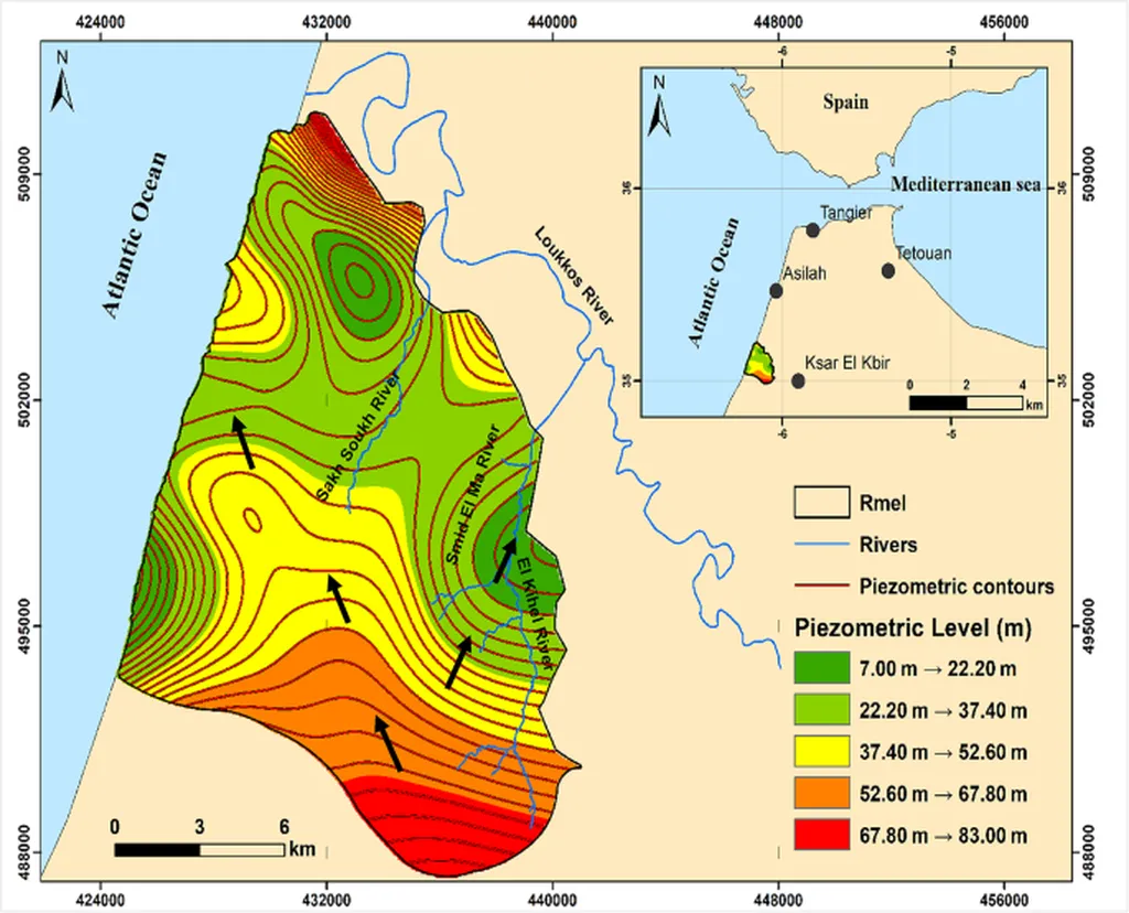
The research focuses on coastal aquifers, which are particularly vulnerable to diffuse nitrate contamination due to agricultural intensification and rapid land use changes. By combining key hydrochemical parameters—such as electrical conductivity, chloride, organic matter, and fecal coliforms—with remote-sensing indicators like the Normalized Difference Vegetation Index (NDVI) and land use/land cover (LU/LC), the study offers a comprehensive approach to assessing groundwater quality.
Two deep learning models were evaluated: a Multilayer Perceptron (MLP) and TabNet, a novel attention-based architecture designed for interpretable tabular data. TabNet emerged as the superior model, achieving an overall accuracy of 81.60% and a Macro-averaged recall of 84.13%. “TabNet’s ability to provide transparent feature attribution is a game-changer,” Chahid notes. “It allows us to understand the underlying factors driving nitrate contamination, which is crucial for developing effective mitigation strategies.”
The study identified fecal coliforms and electrical conductivity as dominant predictors, highlighting the combined influence of domestic wastewater and agricultural runoff on nitrate contamination. The resulting risk maps revealed spatially heterogeneous contamination patterns, with hotspots concentrated in agricultural and peri-urban areas. These findings underscore the importance of integrating explainable AI with geospatial analysis to guide targeted groundwater monitoring and management strategies.
For the energy sector, this research holds significant commercial implications. Coastal aquifers are often critical water sources for energy production, including power generation and oil and gas operations. Nitrate contamination can compromise water quality, leading to increased treatment costs and potential regulatory challenges. By leveraging this deep learning framework, energy companies can proactively monitor and manage groundwater quality, ensuring compliance with environmental regulations and mitigating operational risks.
Moreover, the study’s approach is transferable to other vulnerable coastal aquifers, supporting sustainable groundwater governance under diffuse pollution conditions. “This research demonstrates the potential of explainable AI to transform environmental monitoring and management,” Chahid concludes. “By providing transparent and actionable insights, we can better protect our groundwater resources and support sustainable development.”
As the world grapples with the impacts of climate change and land use changes, innovative solutions like this deep learning framework are more important than ever. By integrating advanced technologies with environmental science, researchers are paving the way for a more sustainable future, one that balances economic growth with environmental stewardship.