In a groundbreaking development for agricultural monitoring, researchers have unveiled a robust and scalable framework that leverages advanced machine learning and satellite imagery to map crop types with unprecedented accuracy. This innovation, published in the journal *Smart Agricultural Technology* (translated as *Intelligent Agricultural Technology*), promises to revolutionize how we track and manage agricultural lands, offering significant benefits for the energy sector and beyond.
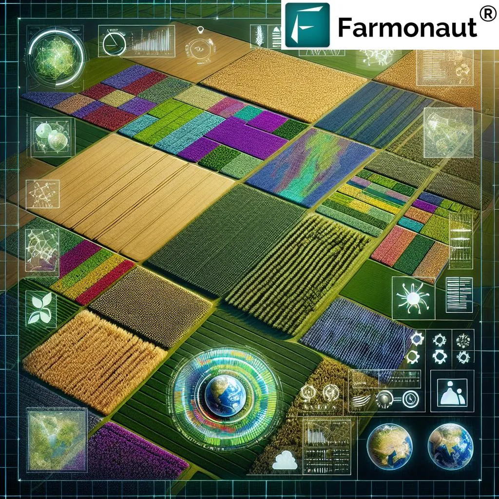
The study, led by Krishnagopal Halder from the Leibniz Centre for Agricultural Landscape Research (ZALF) in Germany, addresses the critical need for high-resolution, large-scale maps of agricultural lands. As climate change, biodiversity loss, and population growth intensify, accurate and timely monitoring of croplands becomes increasingly essential. Halder and his team have developed a framework that integrates multi-temporal satellite data from Sentinel-1 SAR and Sentinel-2 MSI with cutting-edge machine learning models, including XGBoost, CatBoost, a Bidirectional LSTM (BiLSTM), and a Self-Attention-enhanced architecture.
The framework focuses on five major crops—winter wheat, winter rapeseed, winter barley, silage maize, and sugar beet—and was tested across three German states: Lower Saxony, North Rhine-Westphalia, and Brandenburg, for the years 2021 and 2023. The BiLSTM model emerged as the top performer, achieving an overall accuracy of approximately 93%. This is a significant leap forward, as data fusion improved classification accuracy by 2–3% compared to single-sensor inputs.
“Our approach not only enhances the accuracy of crop type mapping but also ensures consistency and scalability,” Halder explained. “By implementing linear interpolation for gap filling and testing multiple scaling techniques, we’ve created a framework that is both robust and adaptable.”
The study also highlighted key temporal intervals related to crop phenology, which could inform better agricultural practices and decision-making. The framework’s strong spatial transferability and adaptability were demonstrated by its high performance in new regions, even with limited training data. This adaptability outperformed established benchmark datasets, making it a valuable tool for agricultural monitoring and decision-making.
One of the most compelling aspects of this research is its potential impact on the energy sector. Accurate crop mapping can optimize bioenergy production, ensuring that energy crops are grown efficiently and sustainably. This can lead to a more reliable supply of biofuels, reducing dependence on fossil fuels and contributing to a greener energy future.
Moreover, the integration of this framework with open platforms like Google Earth Engine enables scalable, field-level monitoring across Europe. This could lead to more informed policy decisions, better resource management, and improved agricultural practices.
As Halder noted, “Our framework supports the development of robust, transferable tools for agricultural decision-making and long-term agroecosystem monitoring. This is a significant step towards creating sustainable strategies for addressing the pressing challenges of our time.”
The research published in *Smart Agricultural Technology* marks a significant milestone in the field of agricultural monitoring. By combining advanced machine learning with satellite imagery, Halder and his team have created a tool that promises to shape the future of agriculture and energy production. As we face the challenges of climate change and population growth, this innovation offers a beacon of hope for a more sustainable and efficient future.