In the heart of Italy, a revolutionary project is redefining sustainable territorial management, offering a blueprint for rural areas worldwide. The Trasimeno Smart Land initiative, led by Francesco Bianconi from the University of Perugia’s Department of Civil and Environmental Engineering, is harnessing the power of Digital Twin technologies to transform governance in a fragmented rural landscape encompassing eight municipalities. This isn’t just about smart cities; it’s about smart lands, and the implications for the energy sector are profound.
The PITER Integrated Territorial Platform, a cornerstone of the Trasimeno Smart Land project, is a dynamic, unified platform that integrates multi-source geospatial data, real-time sensor feeds, citizen-reported issues, and extensive field survey datasets. “Unlike traditional urban-focused Smart City models, PITER addresses the complexity of low-density areas characterized by dispersed settlements and extensive cultural and natural heritage,” Bianconi explains. This platform is a game-changer, enabling advanced spatial analyses for infrastructure monitoring, public works management, land-use planning, and environmental protection.
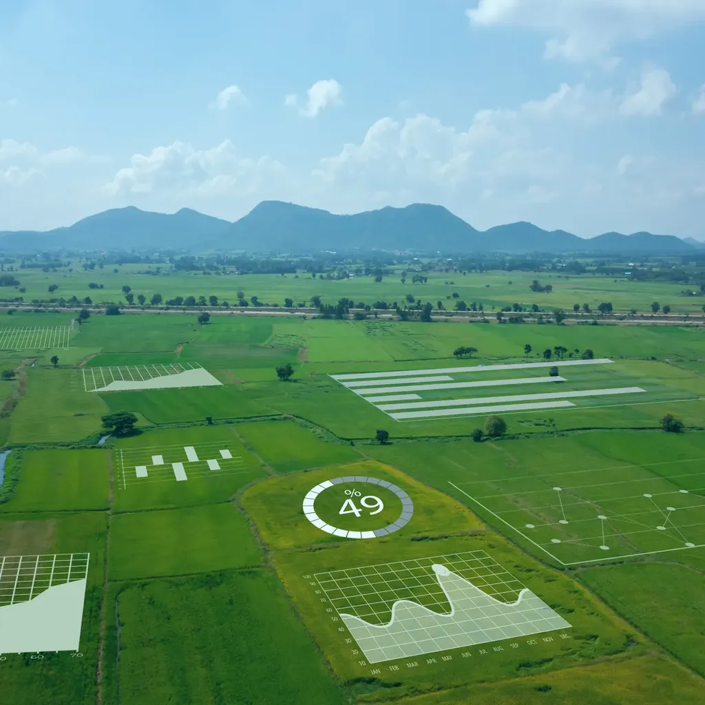
Imagine a rural territory where every aspect of infrastructure and land use is monitored in real-time, where citizens can report issues instantly, and where administrators have access to comprehensive, up-to-date data for decision-making. That’s the reality PITER is creating. The platform incorporates data from IoT sensors, citizen reports, street-level surveys, and continuously updated municipal records, structured across 24 thematic layers. This wealth of information supports decision-making for land management, infrastructure monitoring, and sustainable development.
The commercial impacts for the energy sector are significant. With advanced spatial analyses and real-time monitoring, energy companies can optimize the placement of renewable energy infrastructure, monitor energy consumption patterns, and plan for future energy needs more accurately. “PITER’s architecture ensures high interoperability, data quality control, and adaptability, offering a replicable model for similar fragmented contexts,” Bianconi notes. This modular design allows for continuous updates and seamless scalability, making it a valuable tool for energy sector professionals.
The project’s success lies in its ability to bridge technological innovation with administrative processes. By redefining territorial governance models beyond urban cores, Trasimeno Smart Land contributes to a broader Smart Land paradigm. The research was published in ‘The International Archives of the Photogrammetry, Remote Sensing and Spatial Information Sciences’, known in English as the International Archives of the Photogrammetry, Remote Sensing and Spatial Information Sciences, underscoring its relevance and impact in the field.
As we look to the future, the Trasimeno Smart Land project offers a glimpse into how technology can drive sustainability and efficiency in rural areas. Its success could inspire similar initiatives worldwide, shaping the future of territorial management and offering new opportunities for the energy sector. In a world increasingly focused on sustainability, PITER’s innovative approach is a beacon of progress, illustrating how technology can be harnessed to create smarter, more sustainable lands.